
Our approach
We start with parcel facts and seller goals, not a guaranteed price or timeline. Arkansas owners can ask about title, taxes, road access, and the proposed closing steps before deciding whether a direct sale fits.
How this differs from a listing
Written terms
Review an offer and any open conditions before deciding.
Parcel review
Use the assessor record, deed, and tax information to clarify the tract.
As-is consideration
Disclose land conditions and ask the buyer what it can evaluate.
Closing planning
A title company coordinates signatures after its review.
Why consider a direct offer
Holding inherited, remote, or unused land may create ongoing taxes and maintenance. A direct offer is one option to compare with keeping the parcel or listing it.
Questions worth asking
Access
Which roads or easements are documented?
Taxes
What is due, and how would a payoff work?
Ownership
Who must sign an agreement and deed?
Price
What facts support the proposed offer?
Arkansas land, parcel by parcel
Ozark acreage, river-valley tracts, timber parcels, and Delta farmland can raise different questions. County records and a title review matter more than broad statewide assumptions.
Landscape photography credits
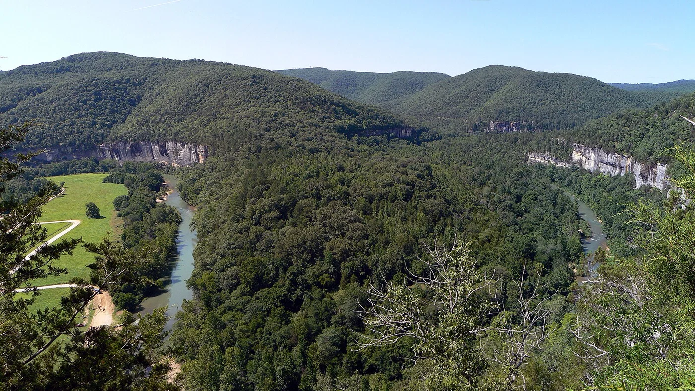
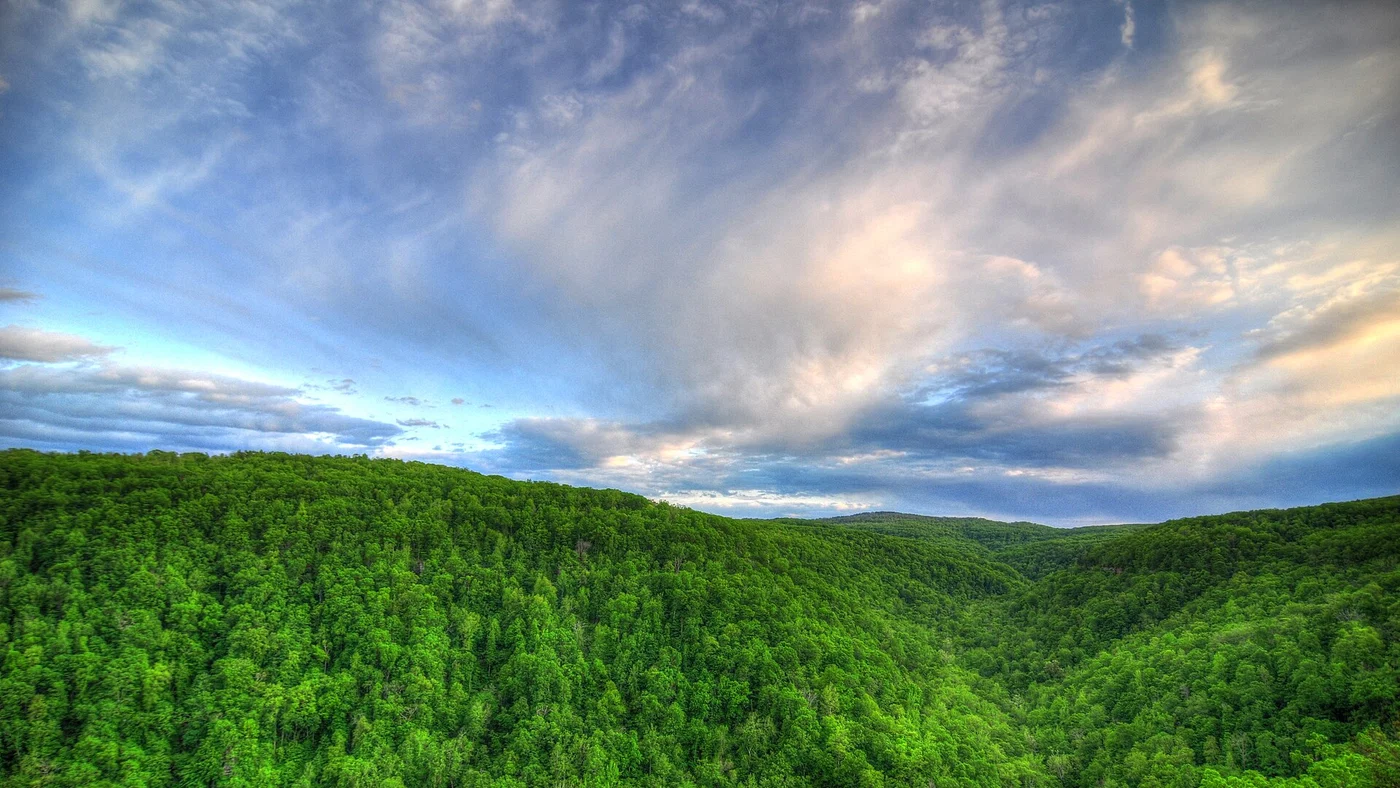
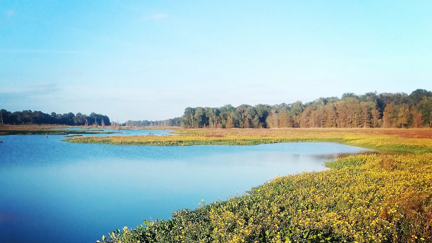
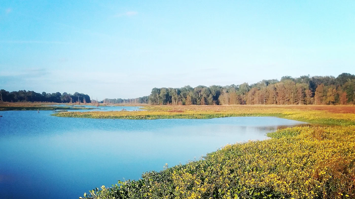
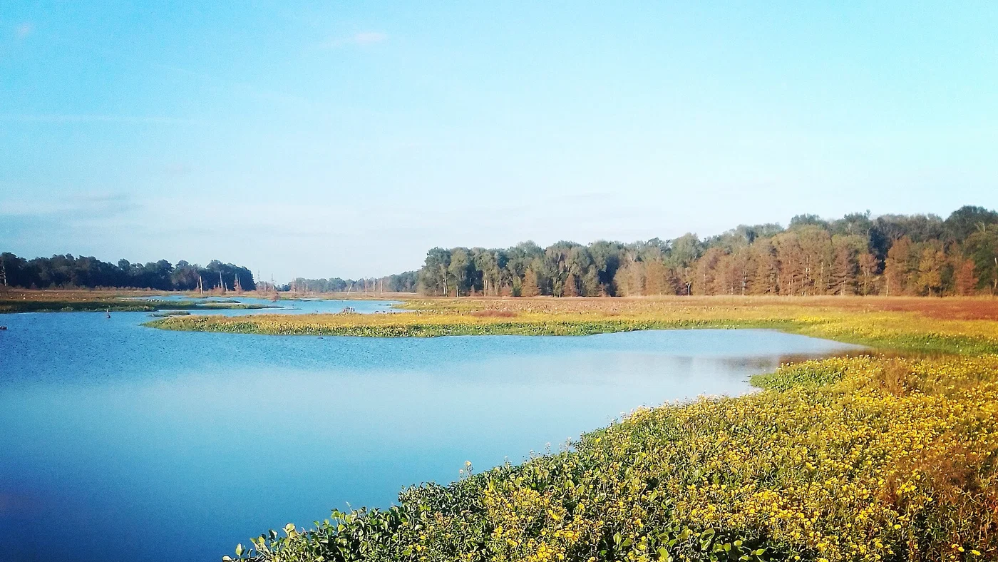
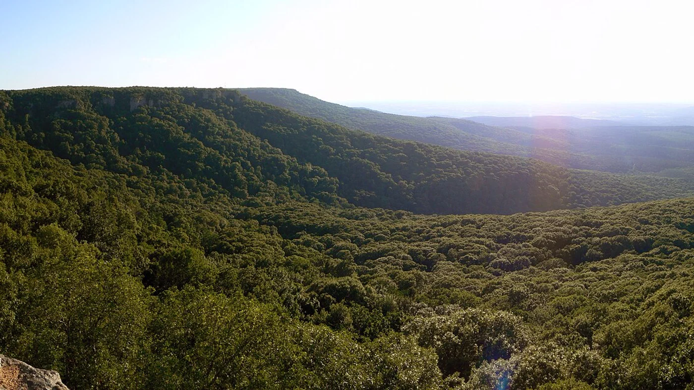
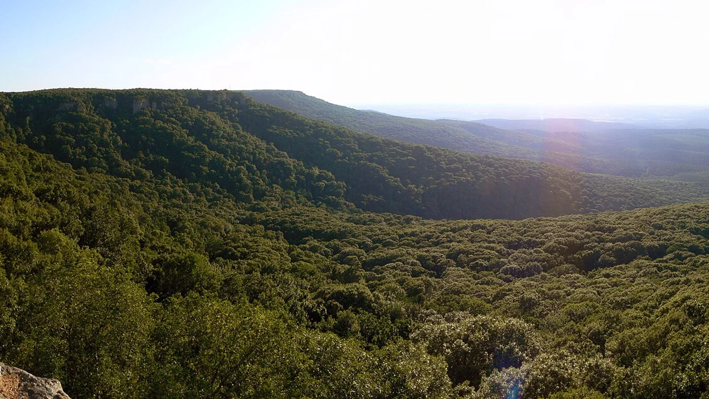
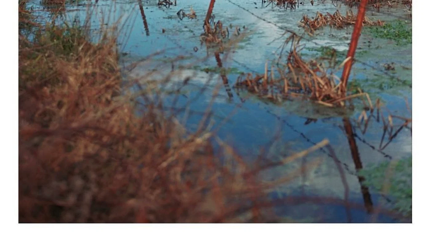
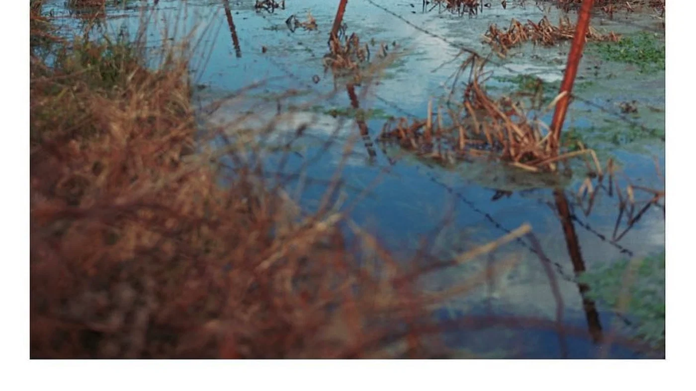
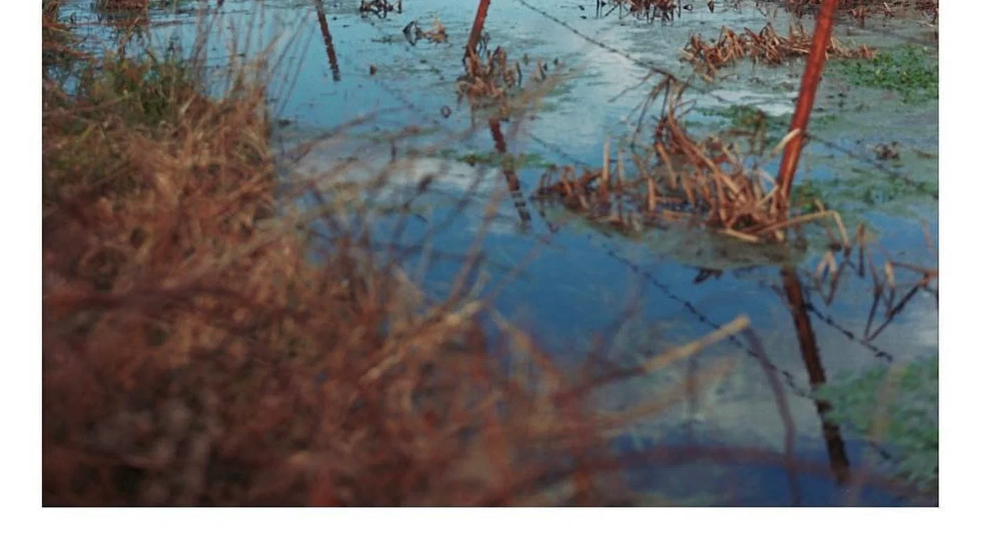
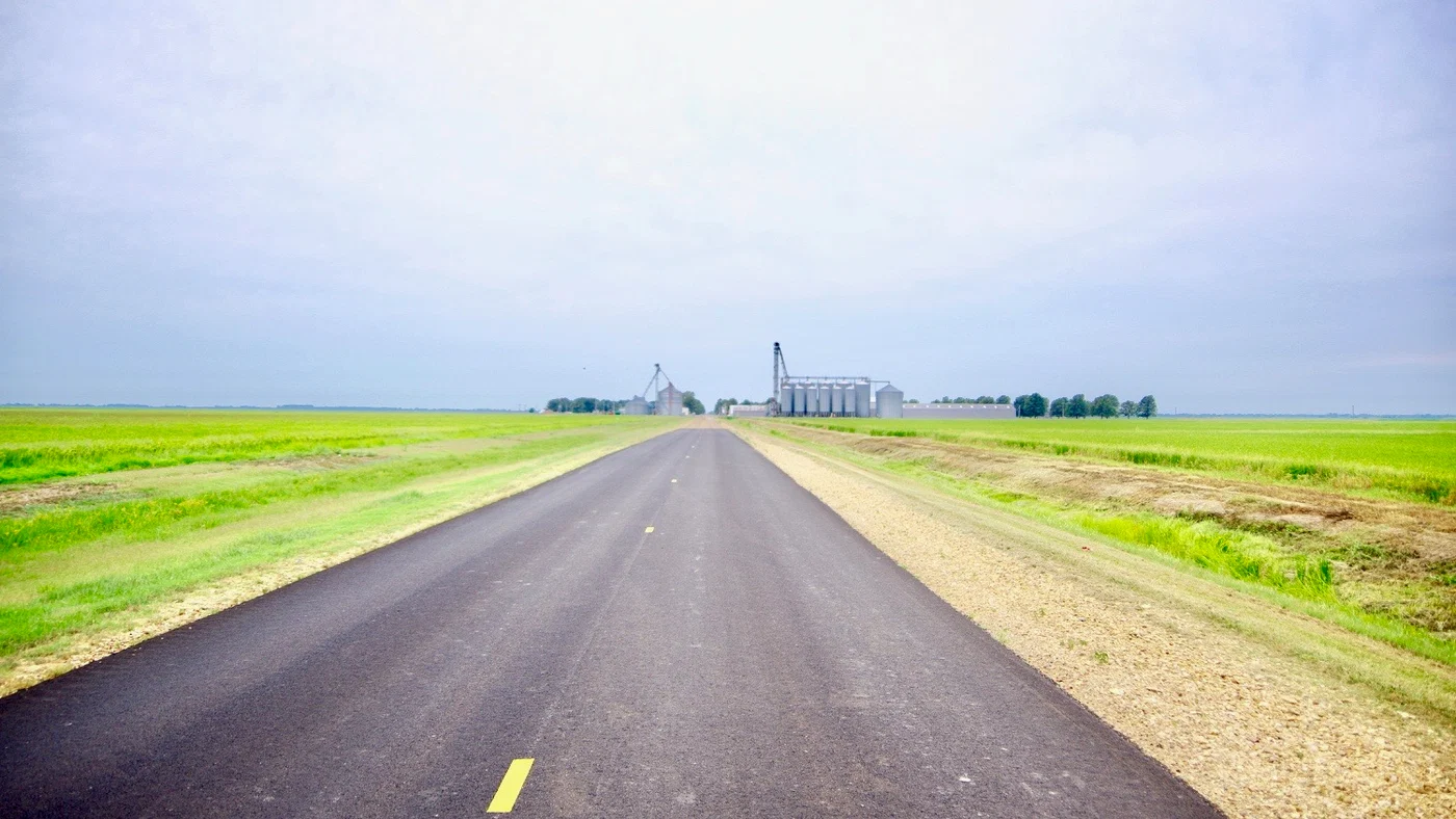
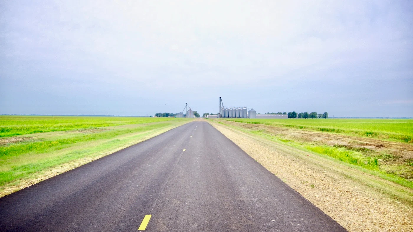
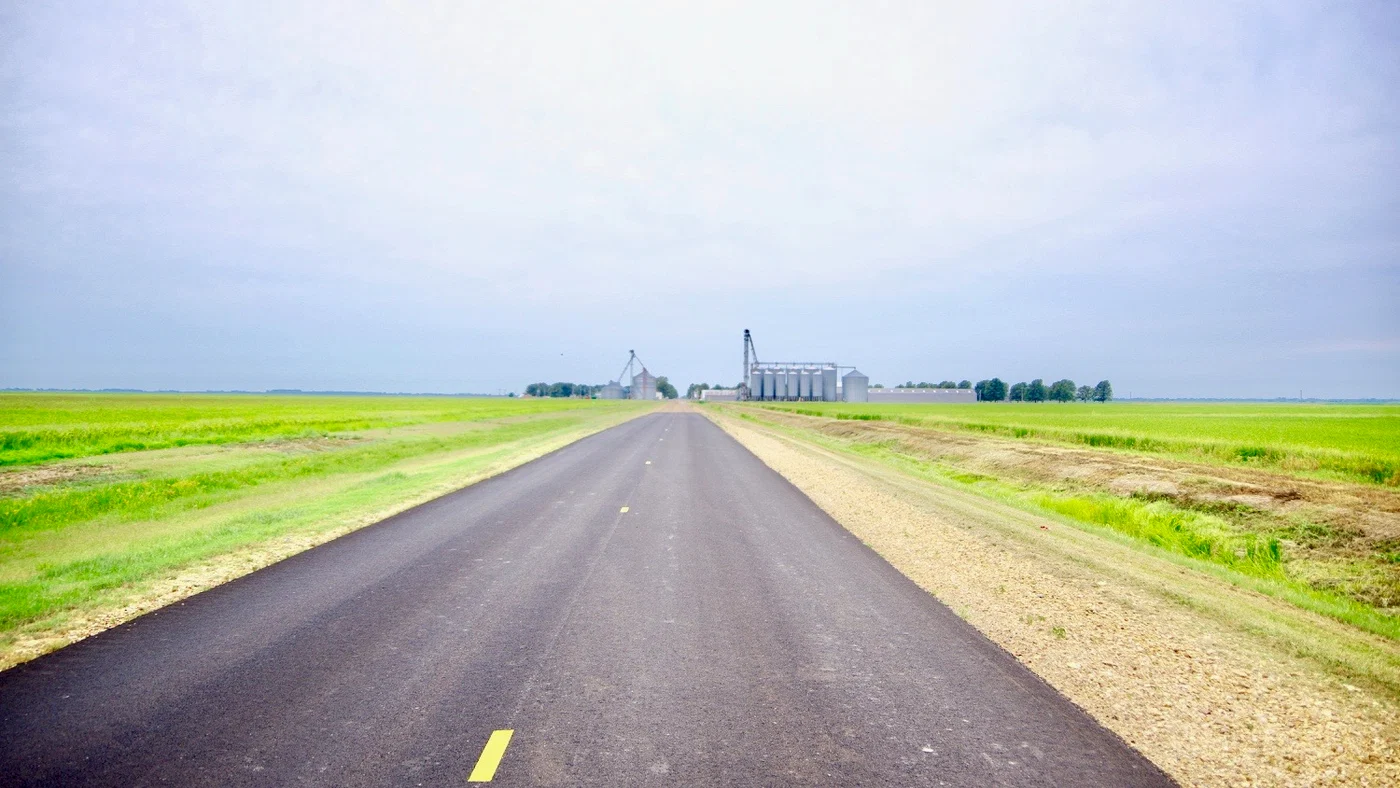
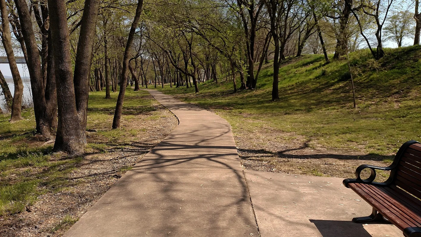
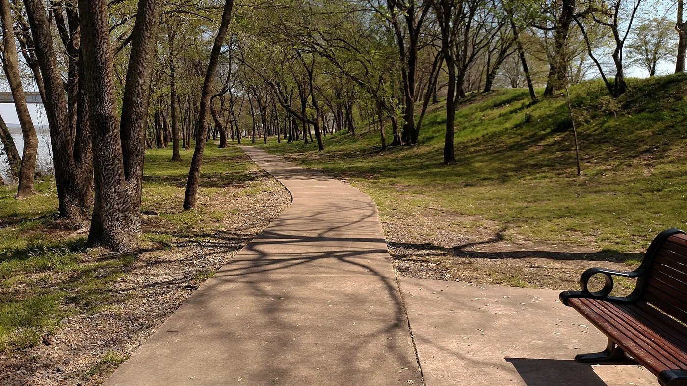
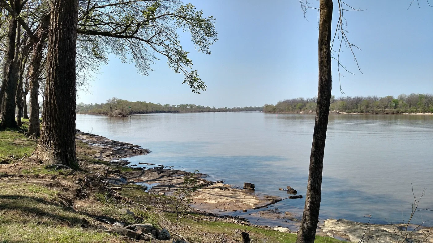
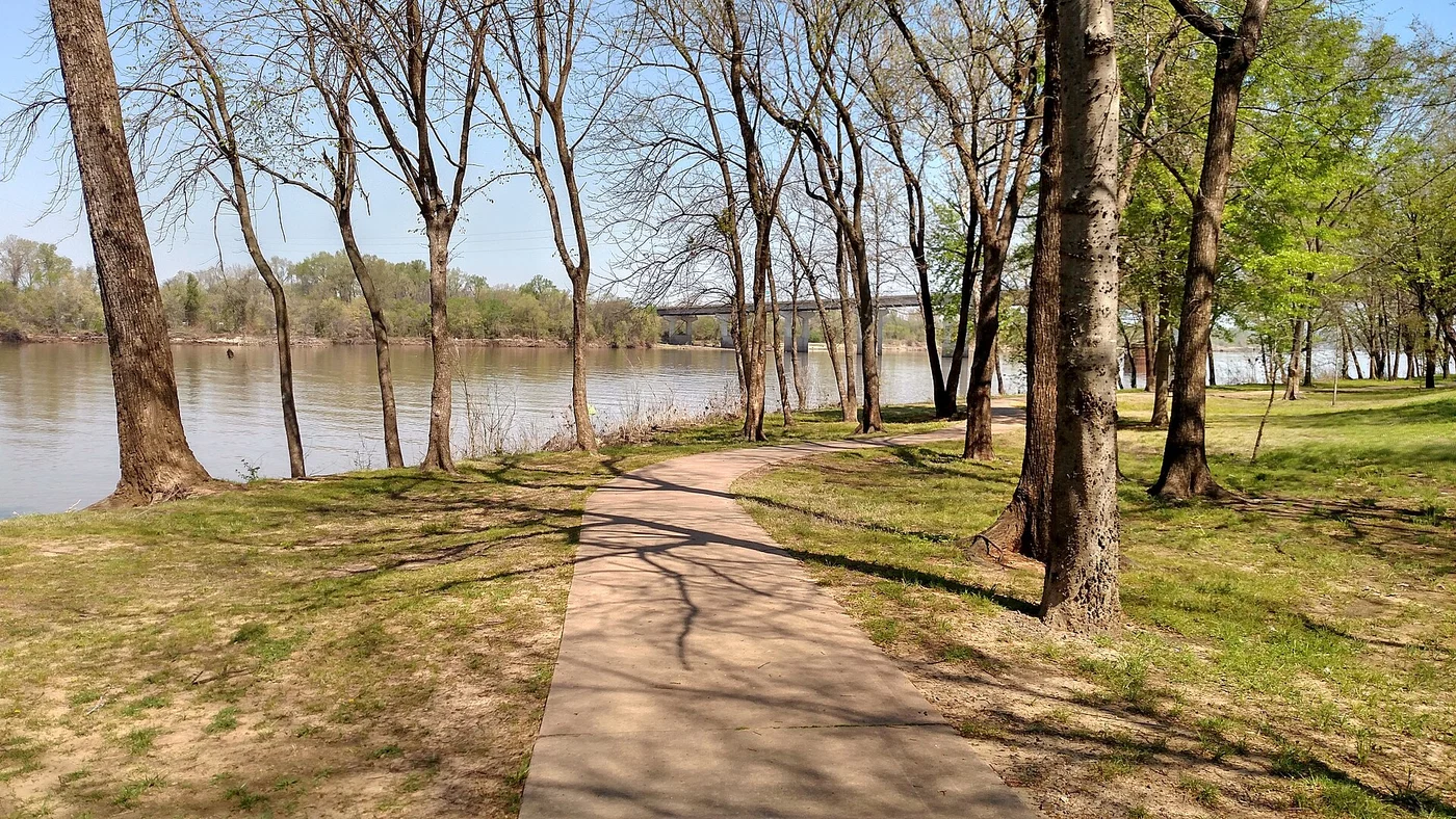
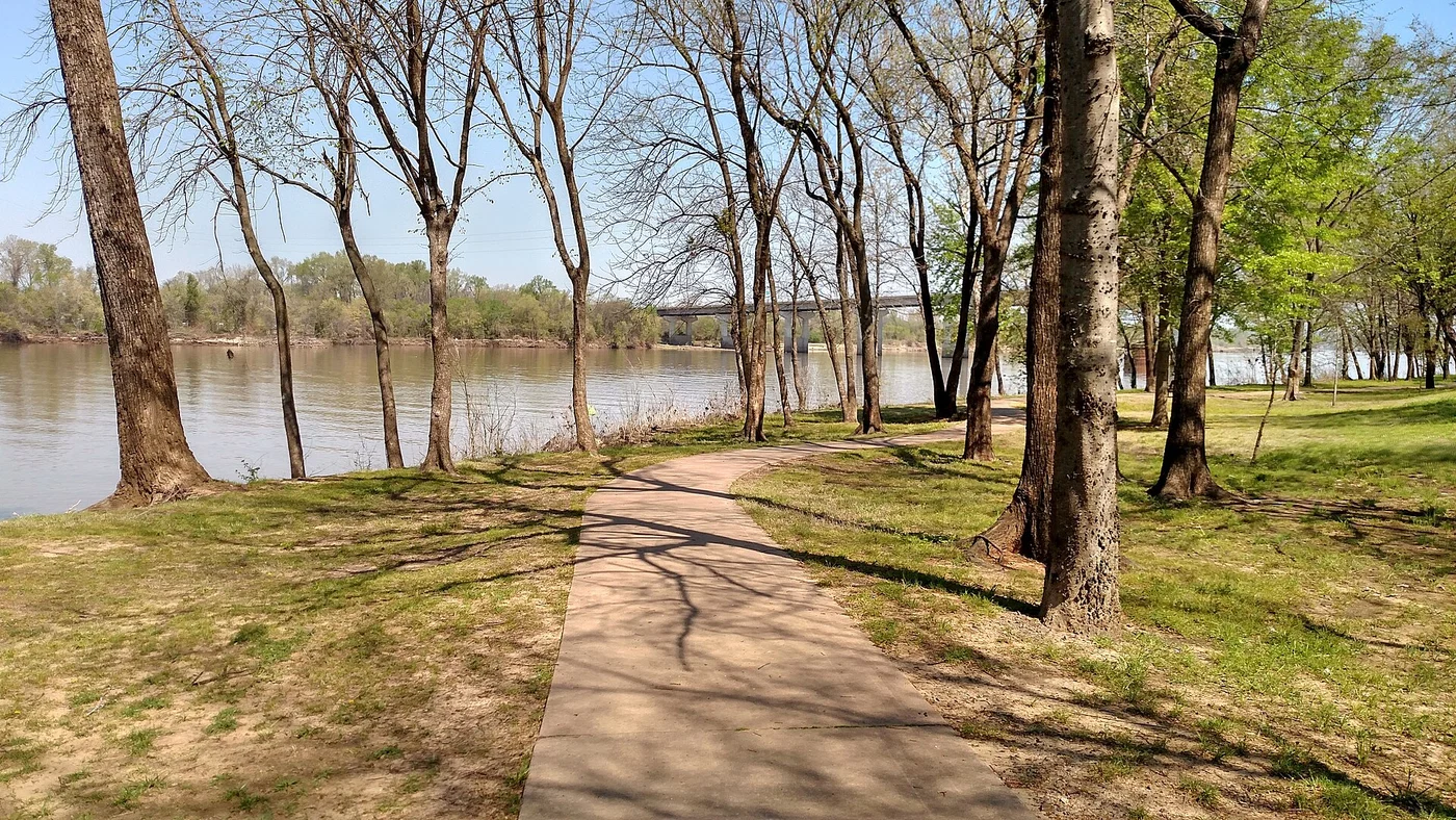
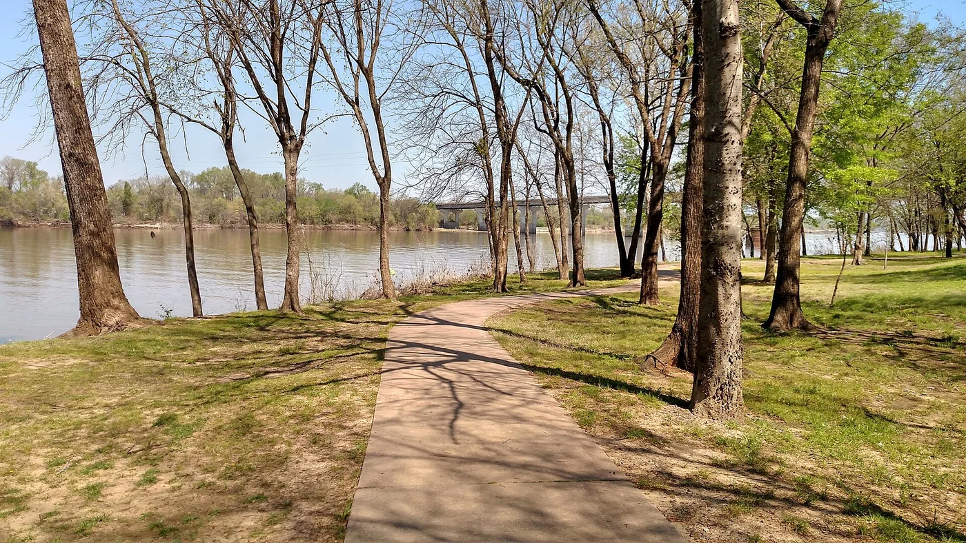
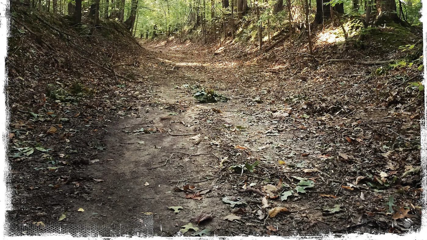
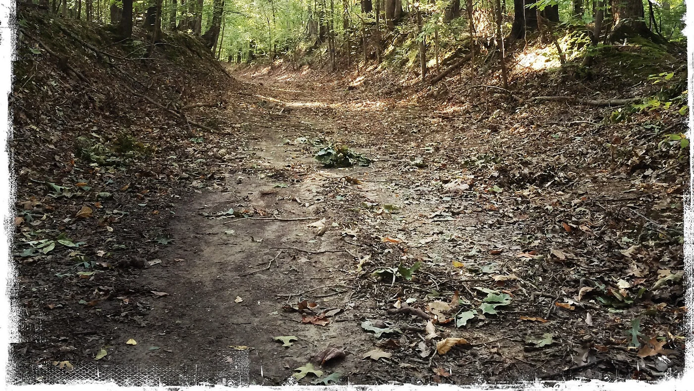
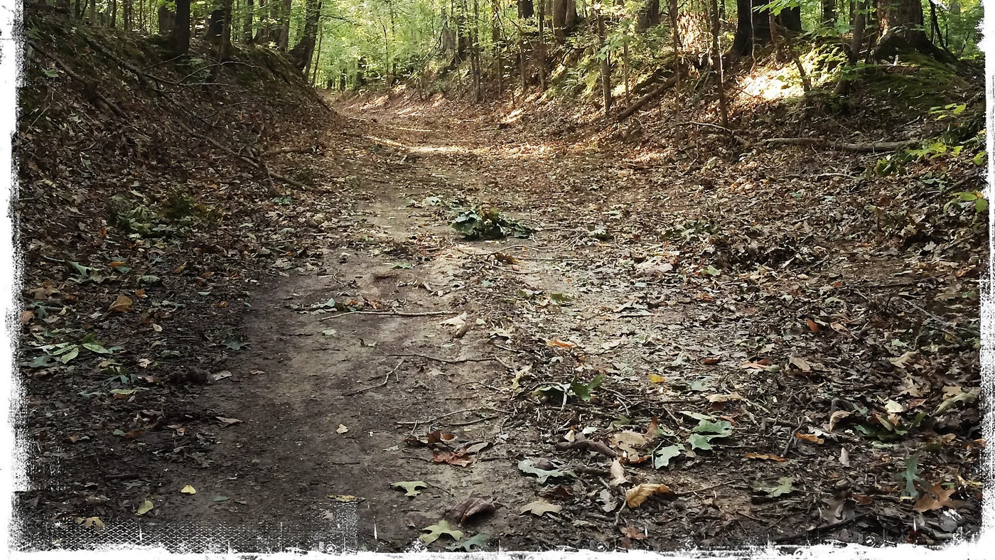
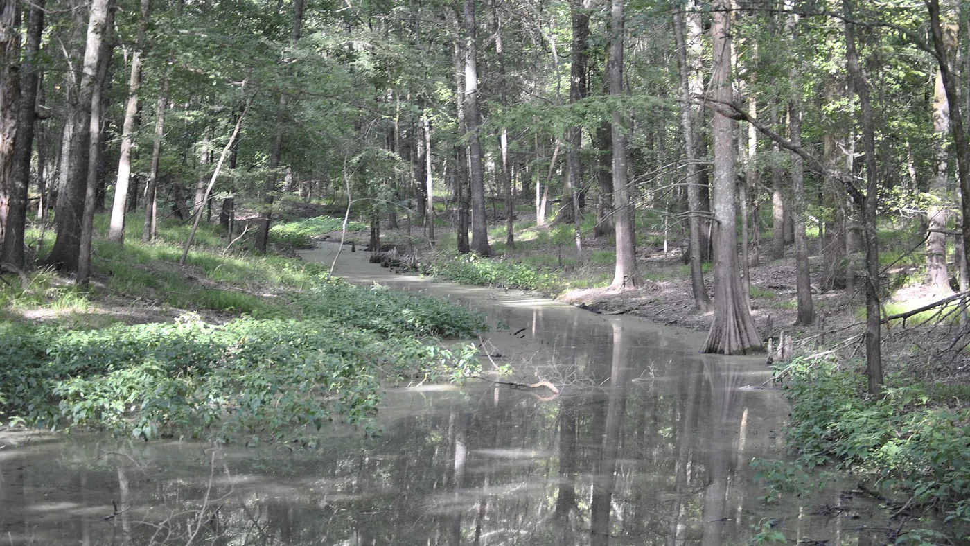
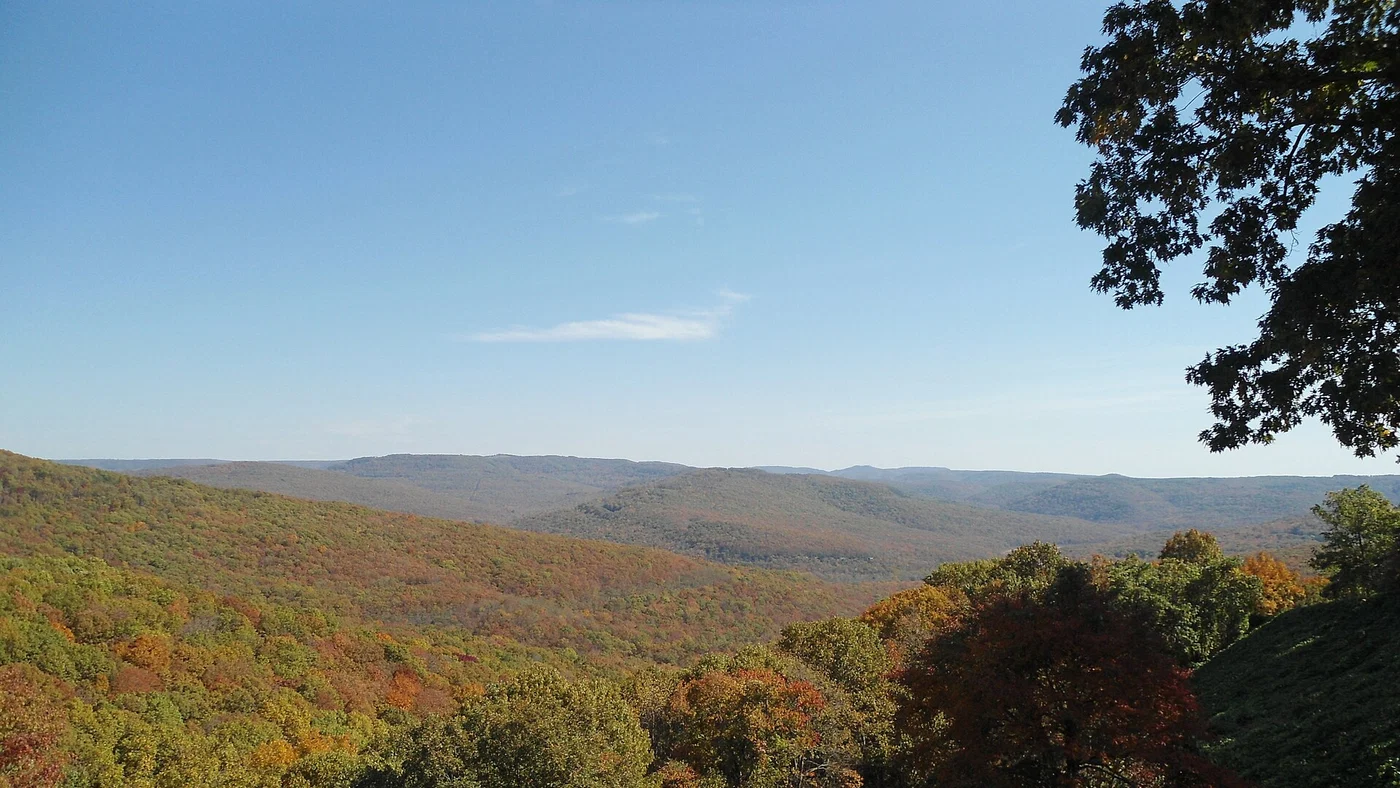
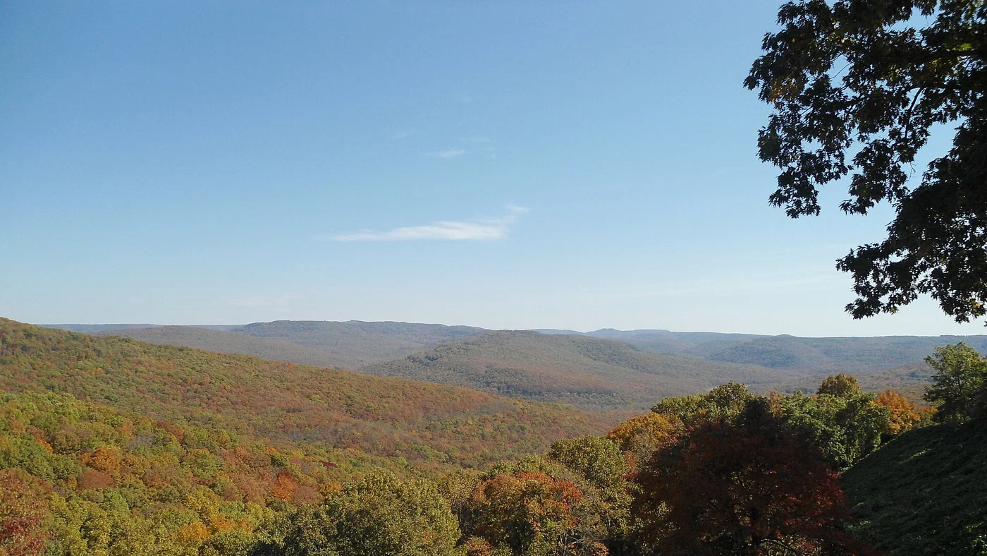
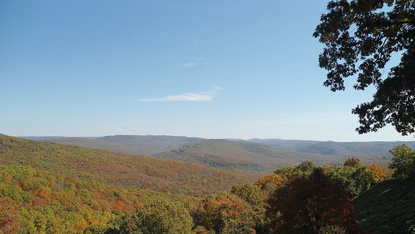
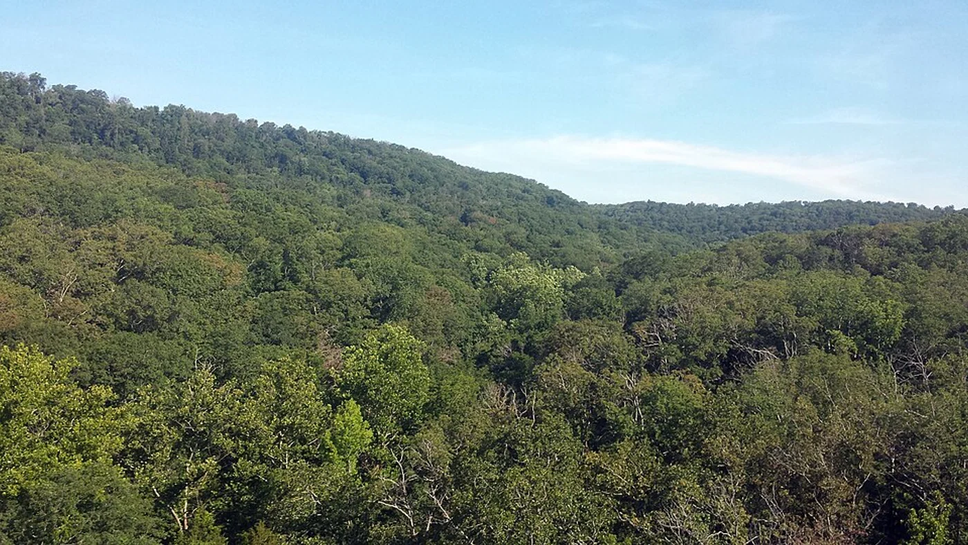
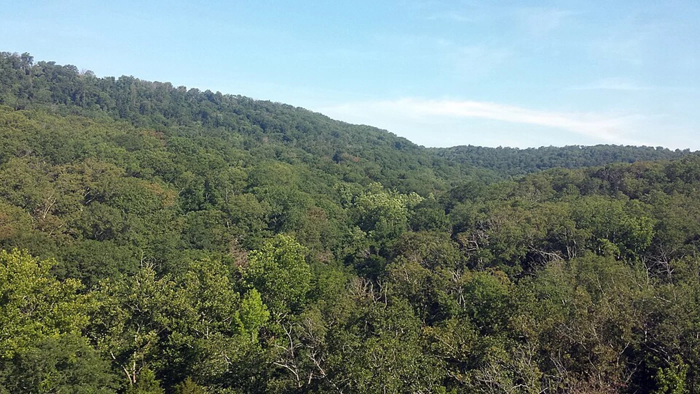
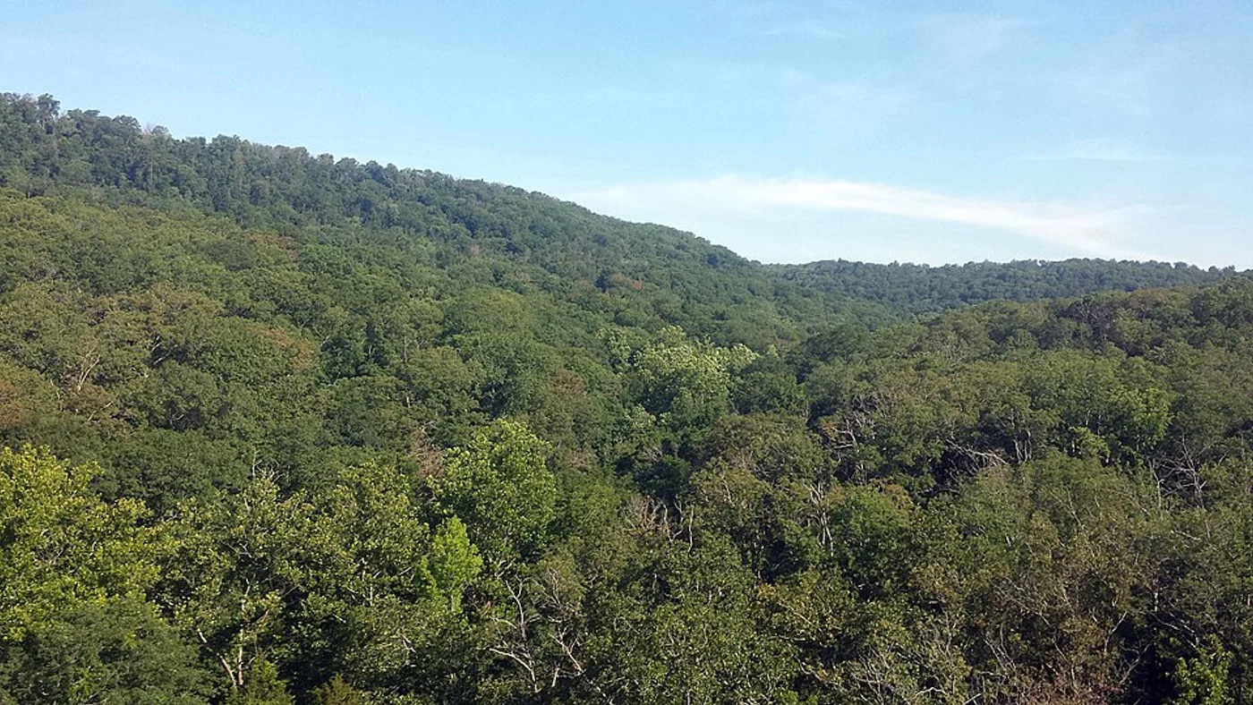
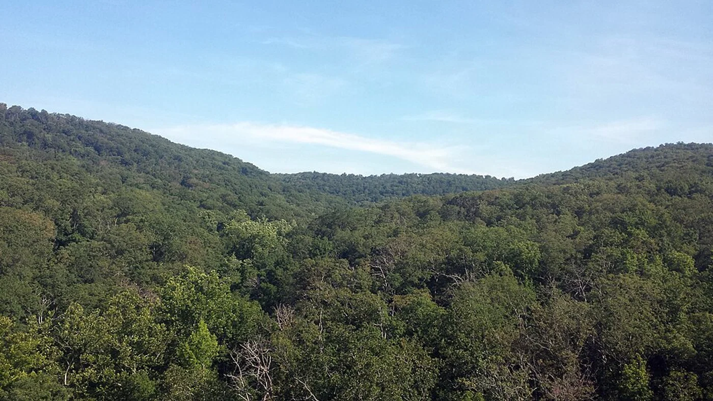
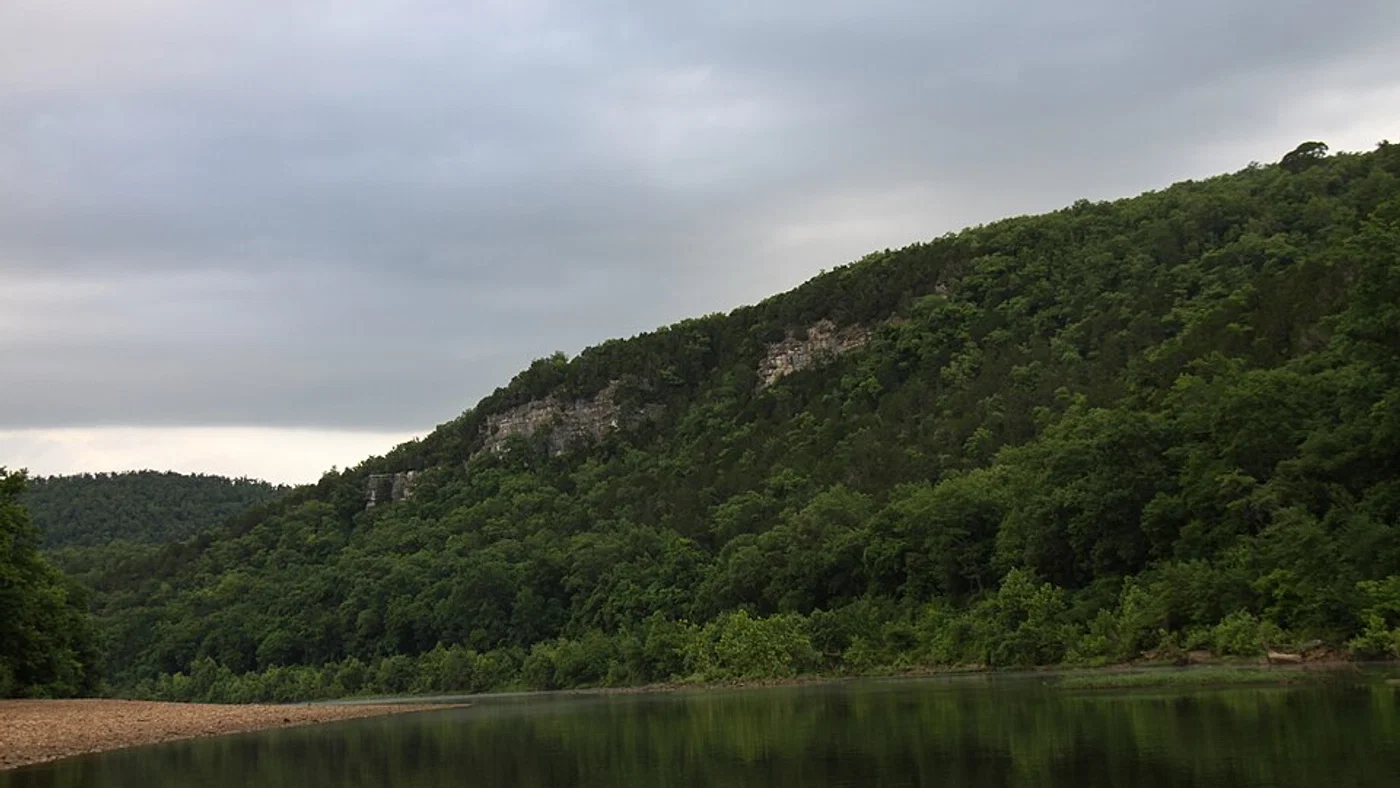
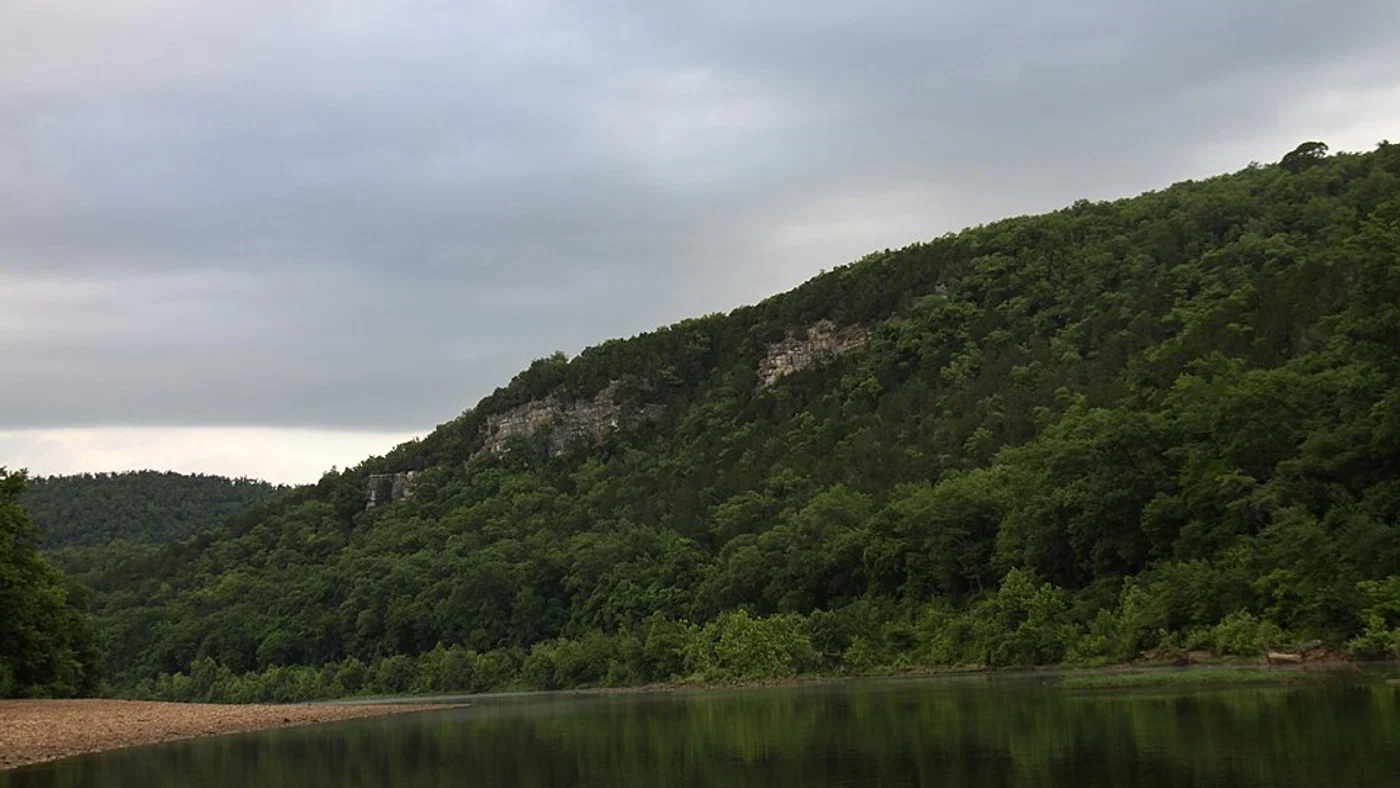
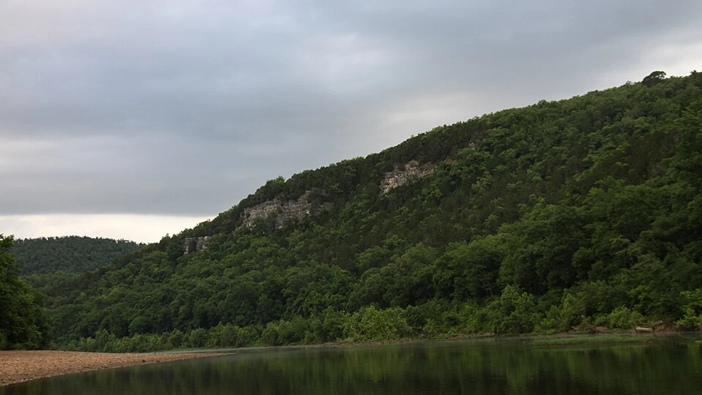
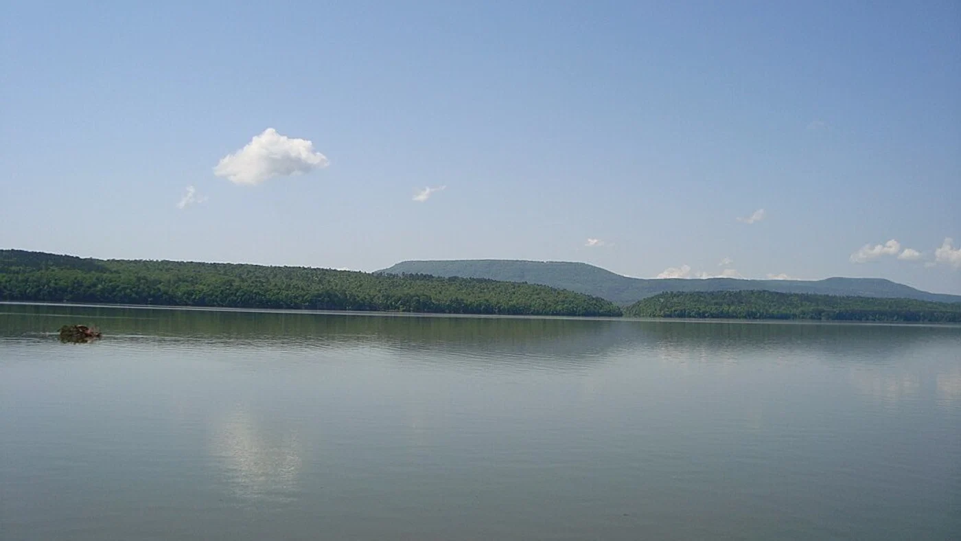
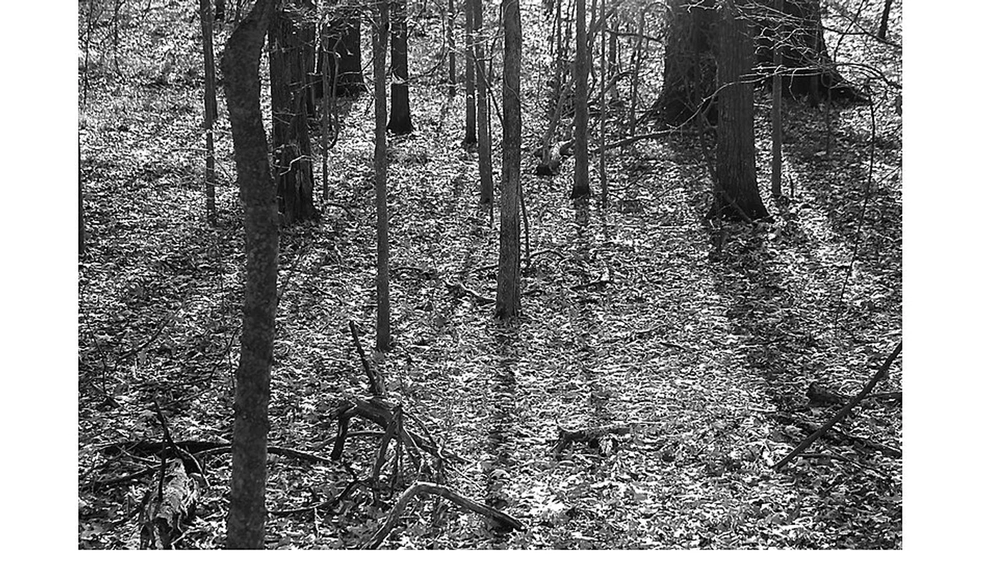
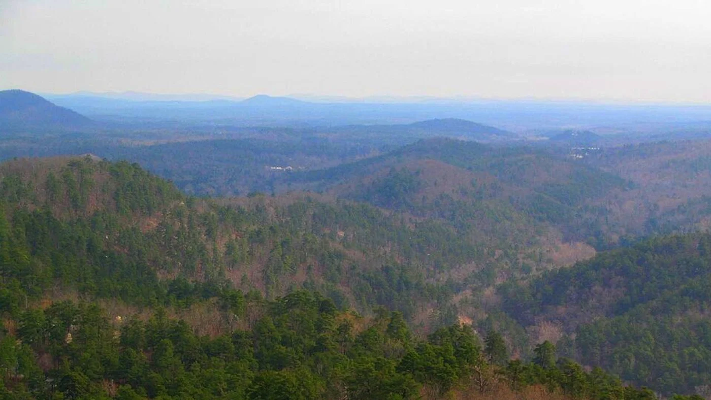
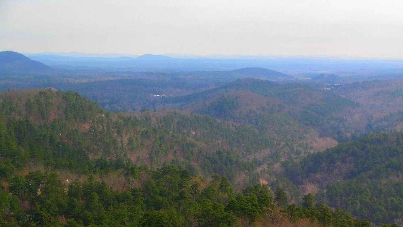
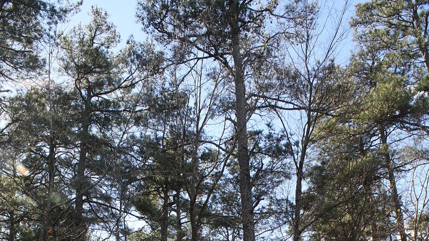
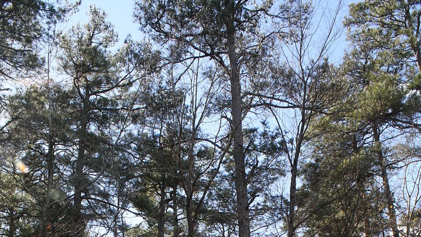
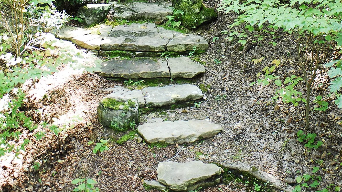
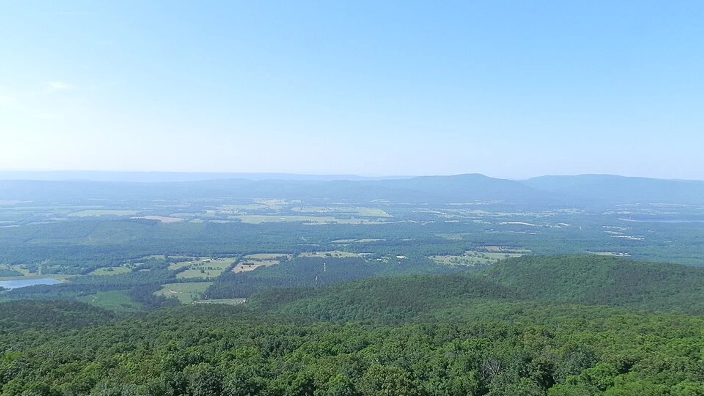
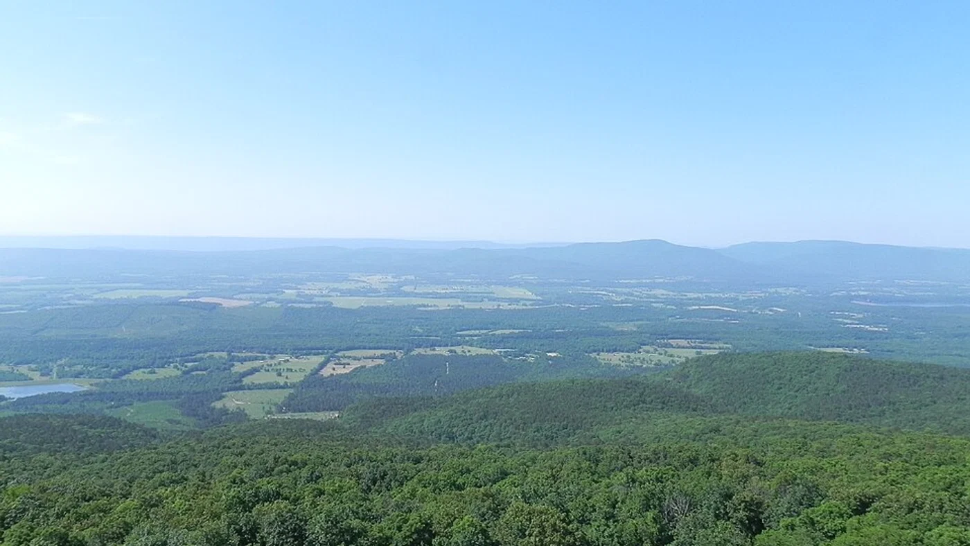
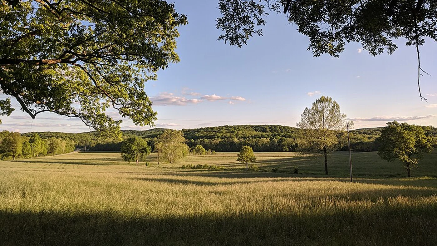
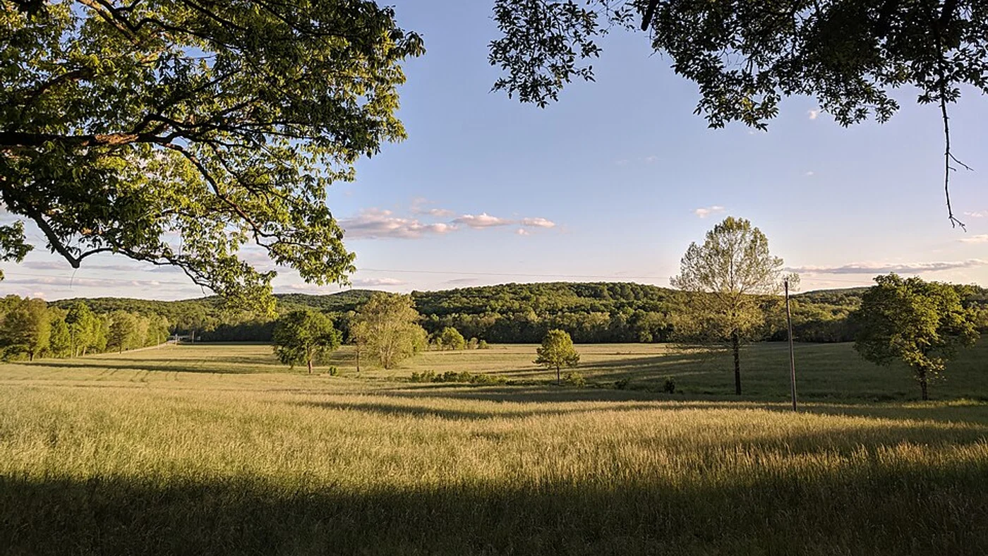
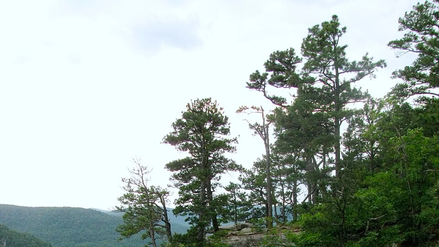
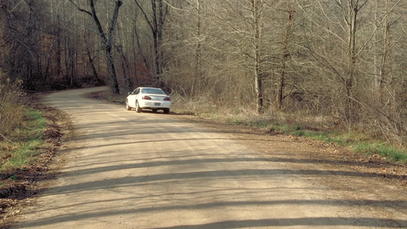
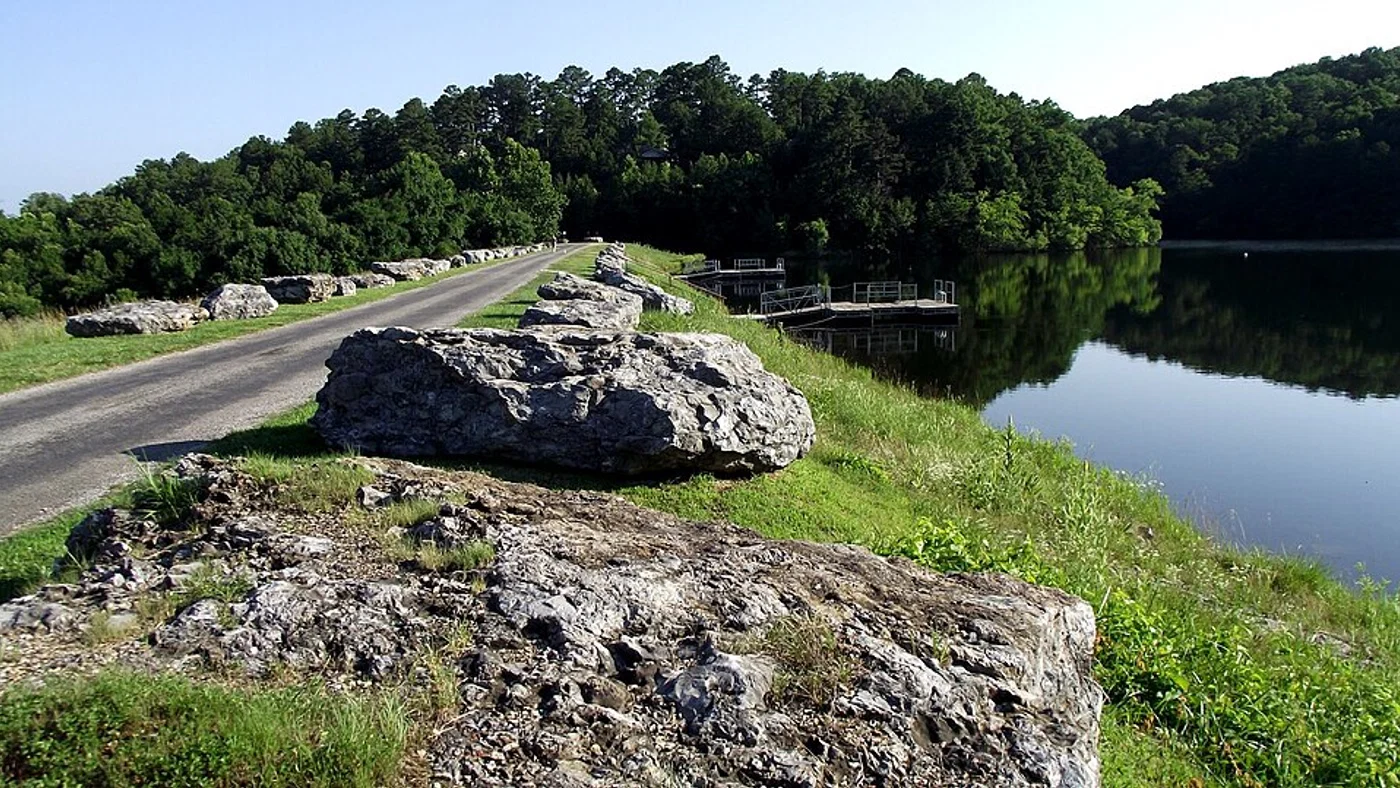
Regional photographs illustrate Arkansas settings; they are not pictures of parcels offered by individual sellers. Images are cropped, resized, and converted to WebP. Where applicable, each derivative is available under the original attribution/share-alike license identified below.
View photographers, sources, and licenses
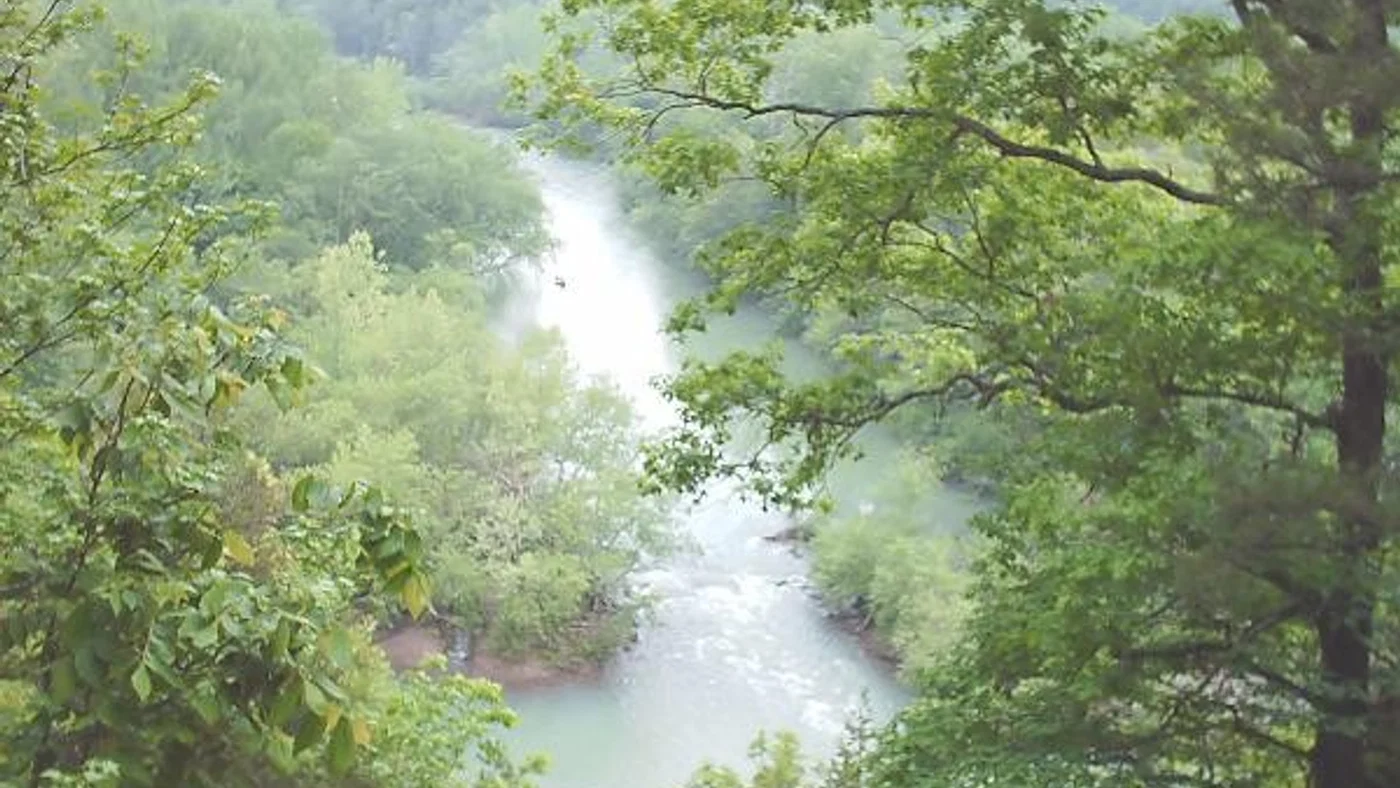
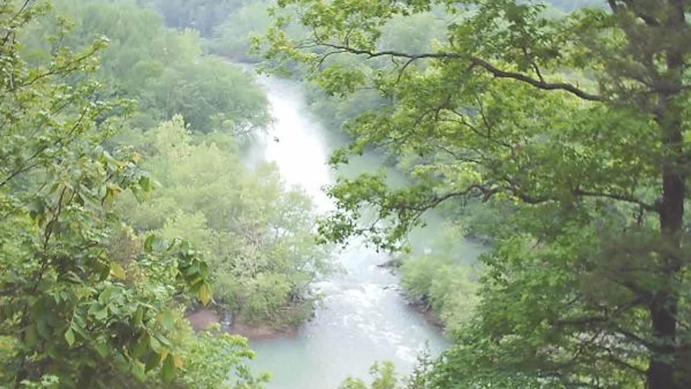
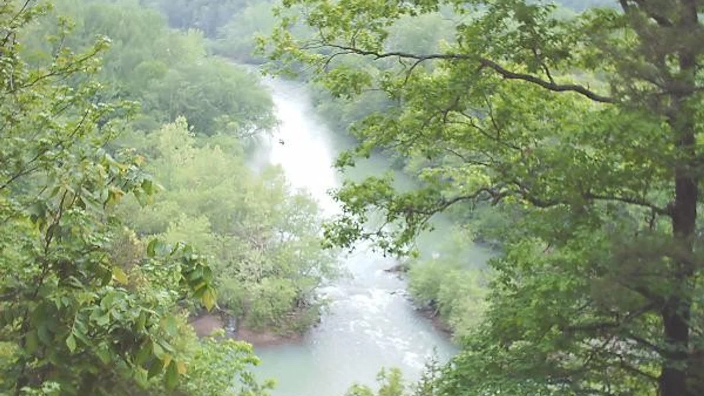
- Buffalo national river steel creek overlook.jpg, by Jasari. CC BY-SA 3.0. Cropped/resized derivatives: image 1, image 2, image 3.
- Hawksbill Crag.jpg, by miketnorton. CC BY 2.0. Cropped/resized derivatives: image 1, image 2, image 3.
- Little Post Bayou.jpg, by Maekju. CC BY-SA 4.0. Cropped/resized derivatives: image 1, image 2, image 3.
- Nw from cameron bluff.jpg, by Jasari. CC BY-SA 3.0. Cropped/resized derivatives: image 1, image 2, image 3.
- Post Bend of the Arkansas River, Gillett, Arkansas.jpg, by Maekju. CC BY-SA 4.0. Cropped/resized derivatives: image 1, image 2, image 3.
- The River Trail along the Arkansas River at the Fort Smith National Historic Site in Fort Smith, Arkansas (b34a9508-ed23-411e-9cf7-fbbe240cc02a).JPG, by National Trails Office (US National Park Service). Public domain. Cropped/resized derivatives: image 1, image 2, image 3.
- ValleyOfDreams PoncaArkansas.jpg, by Ag 35mm. CC BY 4.0. Cropped/resized derivatives: image 1, image 2, image 3.
- Victoria-Hwy-158-ar.jpg, by Brian Stansberry. CC BY 4.0. Cropped/resized derivatives: image 1, image 2, image 3, image 4.
- A bench along the walking trail at Fort Smith National Historic Site in Fort Smith, Arkansas (0e886668-1a1f-4d31-8810-705284f42947).JPG, by National Trails Office (US National Park Service). Public domain. Cropped/resized derivatives: image 1, image 2, image 3.
- A view of the Arkansas River at Fort Smith National Historic Site in Fort Smith, Arkansas (ccb6e921-b9a0-4e84-a3ac-3aa168e9eea5).JPG, by National Trails Office (US National Park Service). Public domain. Cropped/resized derivatives: image 1, image 2, image 3.
- A walking trail along the Arkansas River at Fort Smith National Historic Site in Fort Smith, Arkansas (60ea1ee5-cb15-4a35-a186-73cdb093b8d5).JPG, by National Trails Office (US National Park Service). Public domain. Cropped/resized derivatives: image 1, image 2, image 3.
- A wooded trail trace at Village Creek State Park in Wynne, Arkansas (e43cddac-4b90-4763-aadb-e1f31ada5732).JPG, by National Trails Office (US National Park Service). Public domain. Cropped/resized derivatives: image 1, image 2, image 3.
- Alligator Slough.jpg, by Maekju. CC BY-SA 4.0. Cropped/resized derivatives: image 1, image 2, image 3.
- Artist's Point, AR.JPG, by Brandonrush. CC BY-SA 3.0. Cropped/resized derivatives: image 1, image 2, image 3, image 4.
- Boston Mountains 001.jpg, by Brandonrush. CC BY-SA 3.0. Cropped/resized derivatives: image 1, image 2, image 3.
- Boston Mountains 002.jpg, by Brandonrush. CC BY-SA 3.0. Cropped/resized derivatives: image 1, image 2, image 3.
- Buffalo River view.jpg, by jdj150. CC BY 2.0. Cropped/resized derivatives: image 1, image 2, image 3.
- BuffaloRiver.jpg, by author identified on source page. Public domain. Cropped/resized derivatives: image 1, image 2, image 3.
- Calm waters at Lake Dardanelle State Park in Russellville, Arkansas (d957c7ee-cca9-460b-9ce1-3e4d7dc1b308).JPG, by National Trails Office (US National Park Service). Public domain. Cropped/resized derivatives: image 1, image 2, image 3.
- Cooks Lake (5494812678).jpg, by U.S. Fish and Wildlife Service Southeast Region. Public domain. Cropped/resized derivatives: image 1, image 2, image 3, image 4.
- Talimena Drive.jpg, by United States Department of Agriculture (USDA) - Forest Service. Public domain. Cropped/resized derivatives: image 1, image 2.
- Mulberry River - Arkansas-crop.jpg, by Mulberry_River_-_Arkansas.jpg: Tonya Stinson derivative work: Nesnad (talk). CC BY 3.0. Cropped/resized derivatives: image 1, image 2, image 3, image 4.
- Woods at Arkansas Post National Memorial December 6, 2019.jpg, by Phil Slattery. CC BY-SA 4.0. Cropped/resized derivatives: image 1, image 2.
- Ouachita Mountains from Hot Springs Mountain Tower.jpg, by Ken Lund from Las Vegas, Nevada, USA. CC BY-SA 2.0. Cropped/resized derivatives: image 1, image 2, image 3.
- Pine City Natural Area.jpg, by Brandonrush. CC0. Cropped/resized derivatives: image 1, image 2.
- Stone steps in the woods.JPG, by No machine-readable author provided. DarkPhiber assumed (based on copyright claims).. CC BY 2.5. Cropped/resized derivatives: image 1, image 2.
- View from Mount Magazine.JPG, by Fredlyfish4. CC BY-SA 3.0. Cropped/resized derivatives: image 1, image 2, image 3.
- Linn Creek Road, Van Buren County, Arkansas.jpg, by Brandonrush. CC0. Cropped/resized derivatives: image 1, image 2, image 3.
- Ozark scenery.jpg, by ThumYorky. CC BY-SA 4.0. Cropped/resized derivatives: image 1, image 2, image 3, image 4.
- Pinus echinata on Sam's Throne, Ozarks, Arkansas (5789127366).jpg, by JustTooLazy. CC BY 2.0. Cropped/resized derivatives: image 1, image 2.
- Great River Road - Car on a Forest Service Road - NARA - 7719022.jpg, by Unknown authorUnknown author or not provided. Public domain. Cropped/resized derivatives: image 1, image 2.
- Lake in Bella Vista, Arkansas.jpg, by Alfredo Carrillo. CC BY 2.0. Cropped/resized derivatives: image 1.
- Mulberry River - Arkansas.jpg, by Tonya Stinson. CC BY 2.0. Cropped/resized derivatives: image 1.









.JPG)




.JPG)

.JPG)
.JPG)
.JPG)









.JPG)
.jpg)
















.jpg)




Request a private Arkansas land offer
Enter the acres, state, property address, and county to begin an offer review.